GRID Tonga to start Google Street View data capture in December
Starting in Tongatapu on the 6th December, the Global Reach Initiative and Development (GRID) Tonga team will be driving around Nuku’alofa and sixty-four villages across the island with special 360° cameras to add each community to Google Street View. They will record panoramic, high-resolution, three-dimensional (3D) imagery that is linked to accurate Global Positioning System (GPS) data. These images will be displayed in Google Earth and can be accessed through Google Maps as web and mobile applications.
Director of the Global Reach Initiative Tania Wolfgramm says that “having 3D imagery in Google Street View will be a game changer for Tonga. Creating and publishing Street View imagery to global platforms, including Google Maps and Google Earth will open up opportunities in education, tourism, and business.” The Street View data will also provide important information for research and development, which can support ministries with climate change management and disaster response and resilience planning.
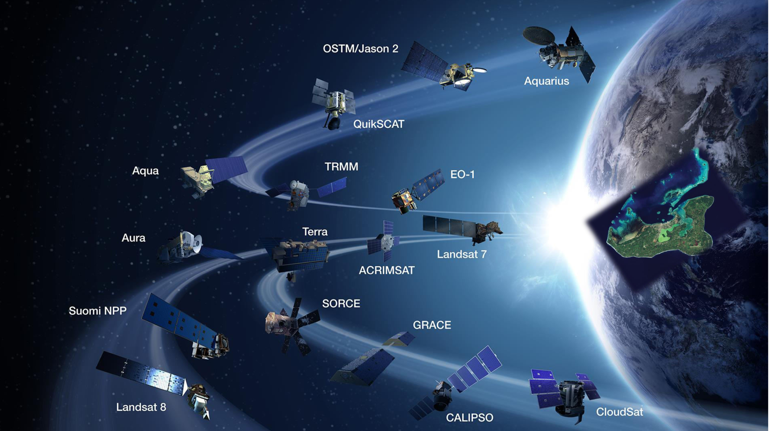
Photo Credit: NASA | Earth Science
While Google Street View was launched in 2007 and has panoramic views of every continent, the Kingdom of Tonga will be the first in the world to participate in the Global Reach Initiative and Development (GRID) ‘whole of country’ programme. Moreover, with Tonga’s fast broadband capability and the fibre optic cable extensions to Vava’u and Ha’apai underway, Tonga is well positioned to become a 21st century powerhouse, who can utilise Street View to create a competitive advantage across multiple sectors.
Working in collaboration with Government Statistician Dr Viliami Fifita, the GRID Tonga Street View initiative was presented on World Statistics Day on 20th October with Prime Minister Hon. Samuela ‘Akilisi Pohiva, Minister of Finance and National Planning Dr Pohiva Tu’ionetoa, and Minister for Education and Training Hon. Penisimani Fifita in attendance. Having used new technologies for the Tonga Census data collection, and being familiar with their effectiveness, Fifita said that the Global Reach Initiative “will be of great benefit to Tonga.”
The GRID Pacific Street View initiative contributes to great results for Tonga
- Comprehensive maps and 3D street imagery accessible in Google Earth
- Accurate GPS and GIS geospatial data (longitude & latitude)
- Family and friends can connect virtually from anywhere in the world
- Improved environmental and disaster planning and response
- Increased capability with technology training and business development
- Increased economic opportunities with global market reach
- Authentic stories and local knowledge shared on global platforms
Google Street View Program Manager Mr Stafford Marquardt, who also presented on World Statistics Day in Tonga, is very excited about “working with GRID Tonga to help bring Street View to Tonga, and put it on the digital map.”
Although GRID Tonga will be focused on Street View in Tongatapu in December, Wolfgramm says that “in January and February our GRID Tonga team aims to travel to ‘Eua, Ha’apai, Vava’u, and ‘Ongo Niua to capture Street View data of the towns, villages, and sites on those beautiful islands. And we are grateful for the support of Tonga Post CEO Mr Siosifa Pomana and his team for providing experienced drivers who are familiar with all of the roads and villages of Tonga.”
With the GRID Tonga team heading to over 64 villages in Tongatapu over the next couple of weeks, this is a great time for Tonga to ‘look sharp’, prepare homesteads and villages, tidy up lawns, put up decorations, and put out signs. As GRID Tonga Manager and Creative Specialist Wikuki Kingi says, “Prepare your village to meet the world – share wonderful imagery of Tonga, and capture the imagination of millions of people everywhere.”


